by Day | Apr 15, 2026 | McCann Land Surveyors
Every project starts with questions about the land beneath your feet. At McCann Land Surveyors, we use advanced equipment like GPS, LiDAR, drones, and robotic total stations alongside experienced crews to capture the data behind the land that others miss. This means...
by Day | Mar 18, 2026 | McCann Land Surveyors
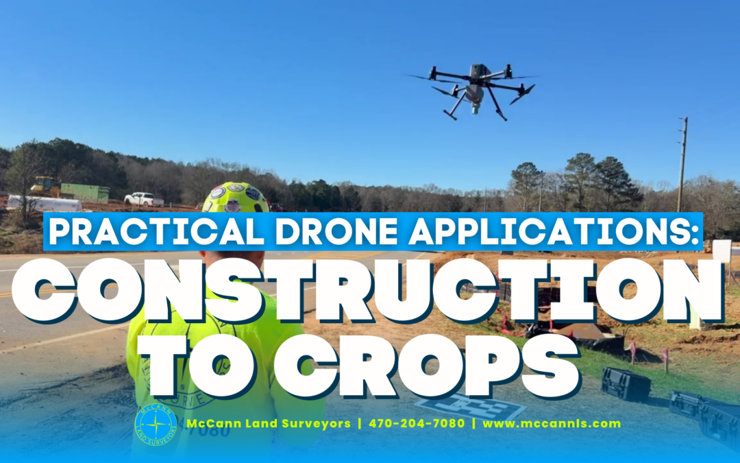
Drones are more than cameras in the sky; they are practical tools that solve real problems on jobsites and in the field. McCann Land Surveyors uses drone technology to support a wide range of applications, from construction volume measurement to crop health assessment...

by Day | Feb 2, 2026 | McCann Land Surveyors
A LiDAR scan produces a powerful asset for your project: a detailed point cloud. But the real value appears when that dense cloud of data is converted into accurate, usable information. At McCann Land Surveyors, we transform raw LiDAR point clouds into surfaces,...

by Day | Jan 26, 2026 | McCann Land Surveyors
Commercial projects move fast, and your survey data needs to move with them. Drone and LiDAR surveying give owners, developers, and contractors the accurate site information they need without slowing a project down. By capturing millions of elevation points in a...

by Day | Dec 10, 2025 | McCann Land Surveyors
Skipping a boundary survey can lead to significant risks for property owners, developers, and real estate investors in Georgia. Without a professional survey, property lines remain uncertain, increasing the chances of encroachments, disputes with neighbors, and legal...

by Day | Nov 19, 2025 | McCann Land Surveyors
Boundary surveys are a critical step for any property owner or developer in Georgia. These surveys clearly define the legal limits of your land, preventing costly disputes that can arise from unclear or misunderstood property lines. Without a professional boundary...